Building date:
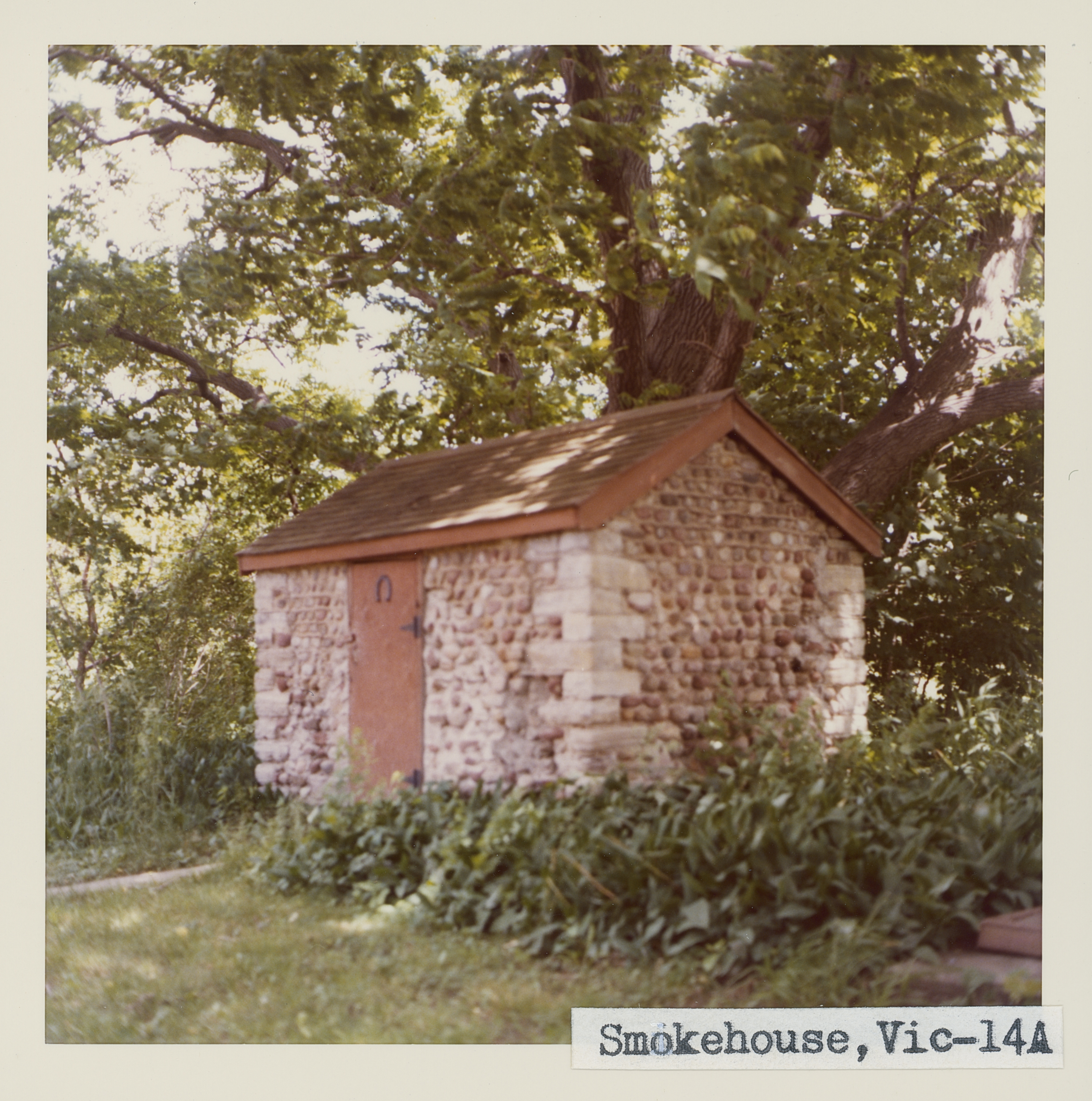
Original use: Smokehouse
Corner structures: Variable
Mortar application and content:
Types and uses of stones:
Types and choice of windows:
Structures with similar masonry details:
Masons who worked on building:
Unique features:
Map views courtesy Google Maps. Address is Google Earth confirmed; 42°59'53.71"N 77°27'38.59"W. Current owner of record, Route 251 Acquisition LLC as of the 2019 Tax Roll.
Town of Victor and Ontario County Maps (14a is at the same location as 14 on both maps.)
According to Schmidt, the smokehouse has quoins built of red brick. When photographed, the quoins were found to be made of gray limestone. Roudabush Survey page 91
Smokehouse in need of repairs. Richard Palmer blog.
 Vic_14a_1.jpg |  Vic_14a_2.jpg | 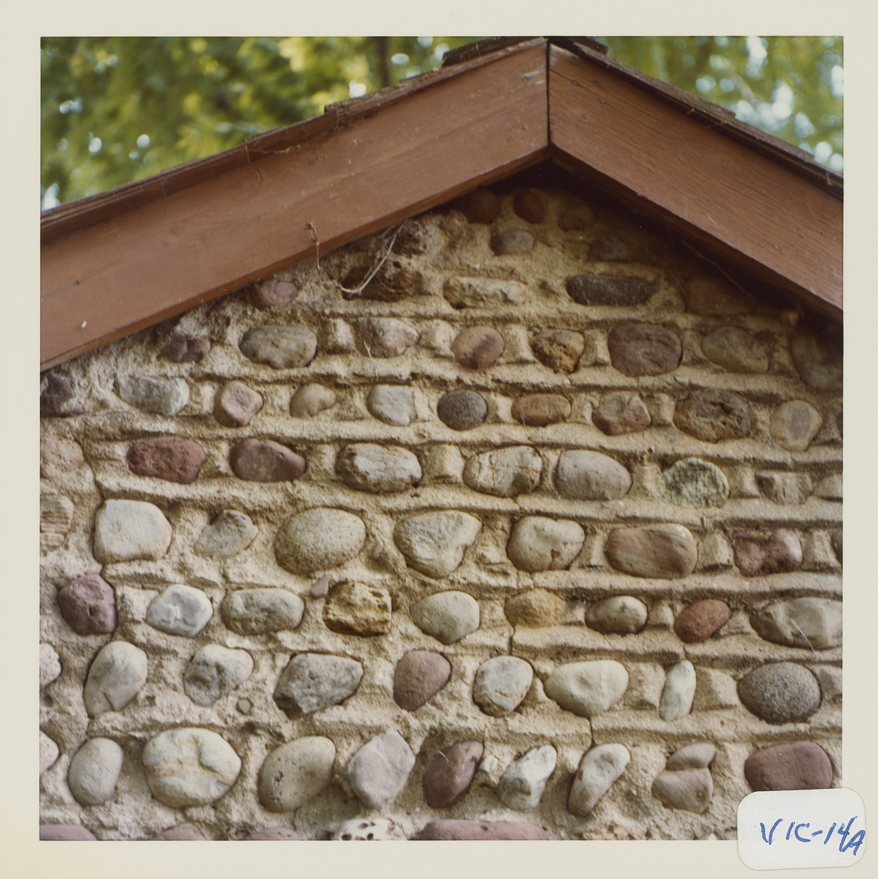 Vic_14a_3.jpg | 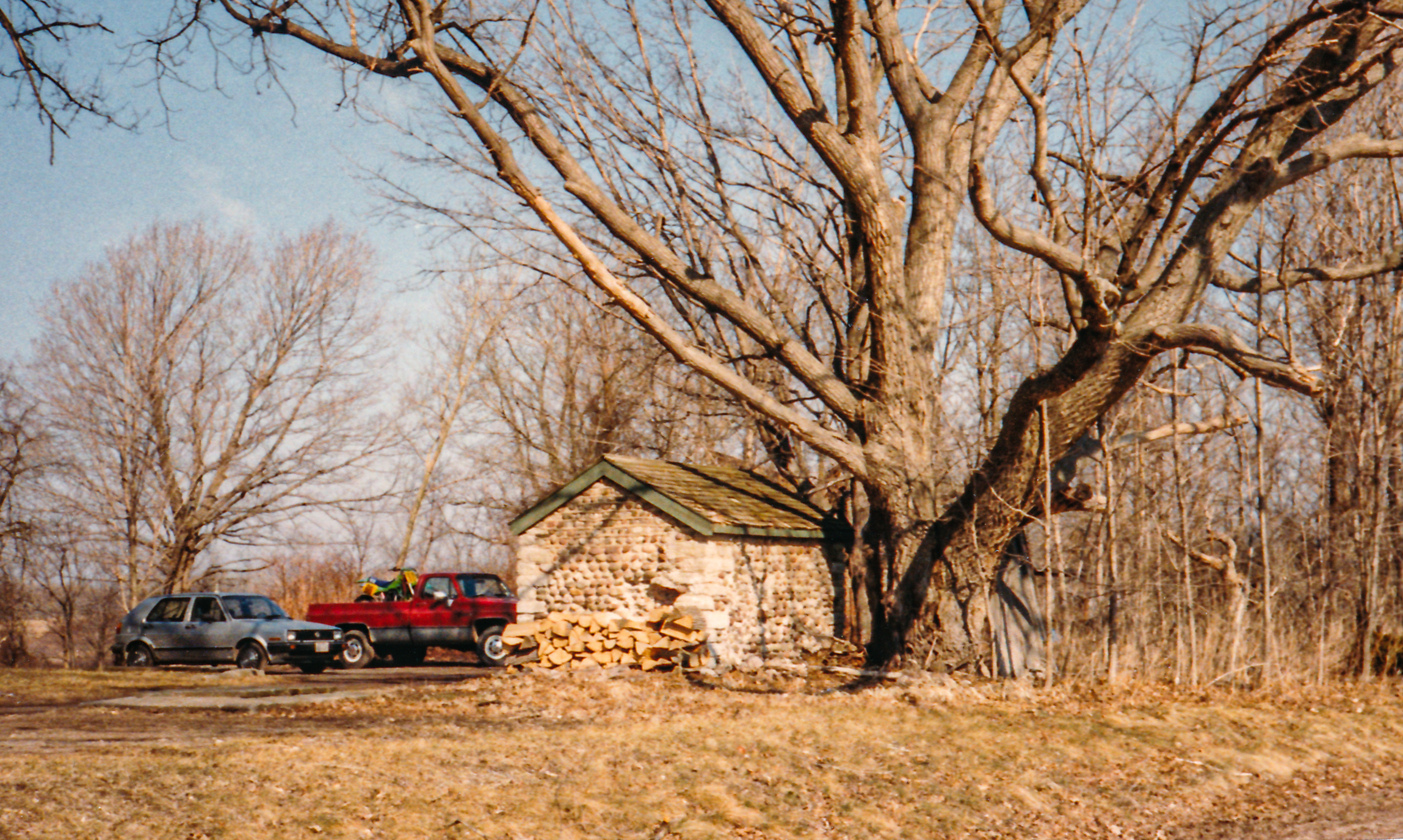 Vic-14a Smokehouse 1.jpg ¹ |
 Vic-14a 7732 Rt 251 1.jpg ² | 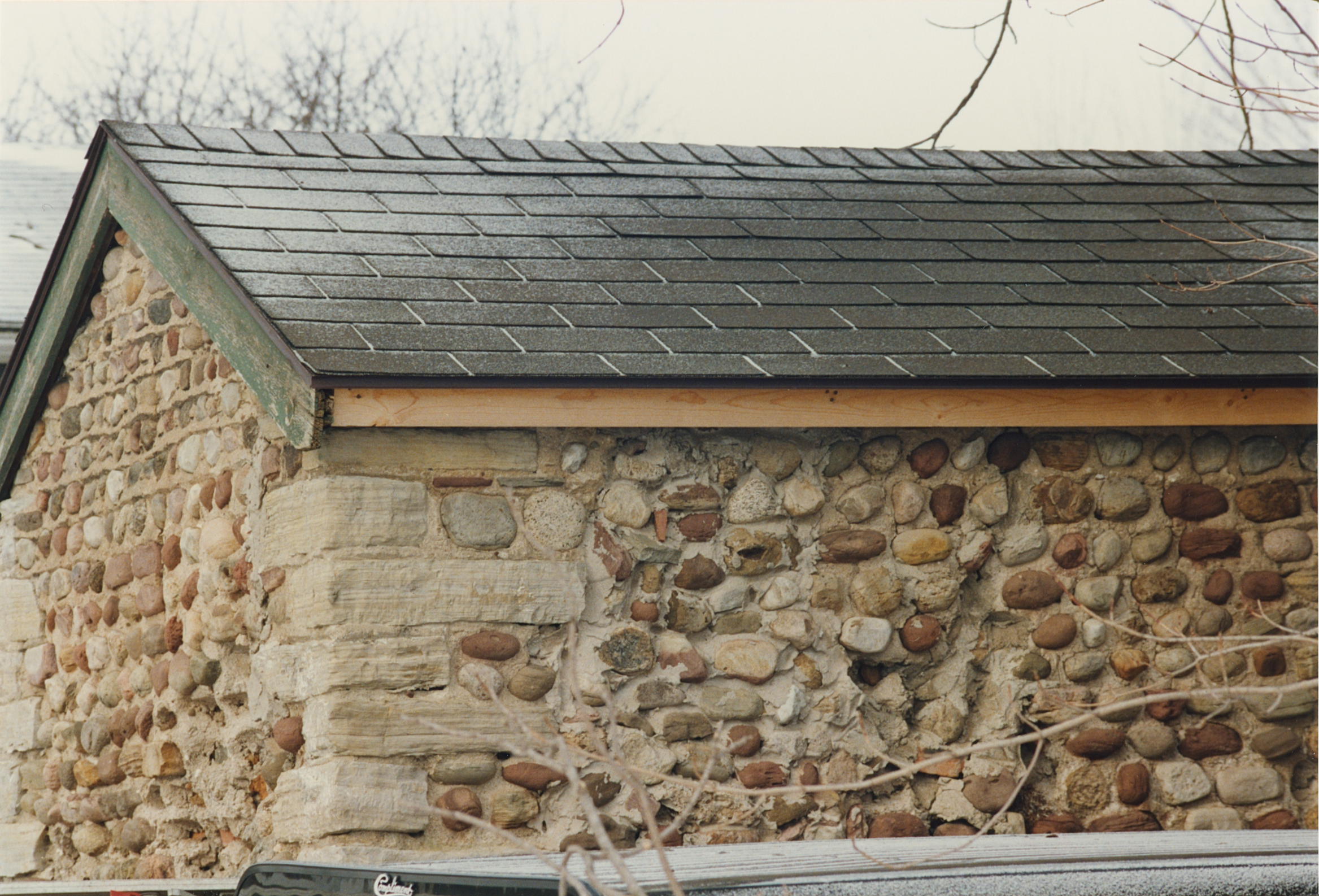 Vic-14a 7732 Rt 251 2.jpg ² | 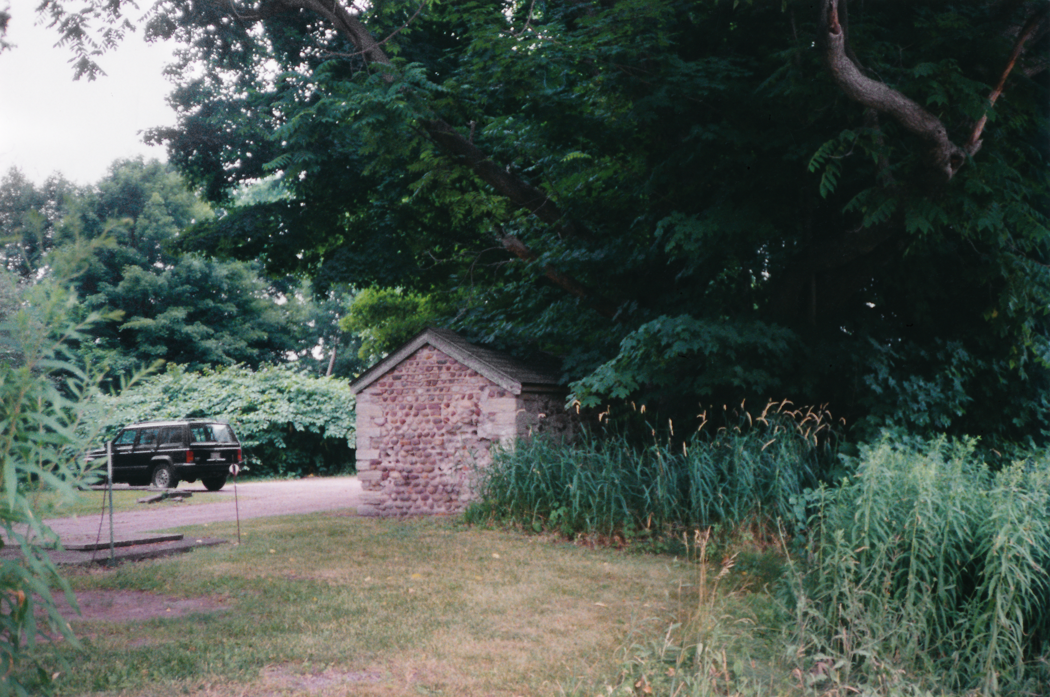 Vic-14a Smokehouse 2.jpg ¹ 7/24/97 | .jpg) 7732 Victor-Mendon Road (2).jpg ³ |
¹ Image courtesy Cobblestone Museum.
² Photography courtesy Martin and Sheila Wolfish.
³ Photography courtesy Richard Palmer.
